
Leven Nature Network
Location: Leven, Fife
Client: Green Action Trust
Status: Phase 1: Complete
Value: Phase 1: £1.7 million
- Nature based solutions to enhance existing parkland
- Sustainable urban drainage systems and water based interventions
- Habitat diversification with improved connections
- From concept through to delivery
- Masterplanning with digestible Storymap output

New boardwalk over floodplain pond.


Leven River Park Open Day.


Existing and proposed sketch of blue-green infrastructure in Leven River Park
Nature Network Phase 1 is one in a collection of projects under The Leven’s River Park Programme which aims to improve the accessibility and biodiversity of the Levenmouth parkland for the benefit of communities and the natural environment.
In 2023 RFB produced proposals for a parkland wide Nature Network which aligned with developing active travel proposals. These interventions included the diversification of vegetation in the park with a matrix of woodlands, shrubbery, meadows and aquatic planting alongside a tapestry of waterways and waterbodies. A new network of path connections weaved between these features.

Nature Networks diagram.
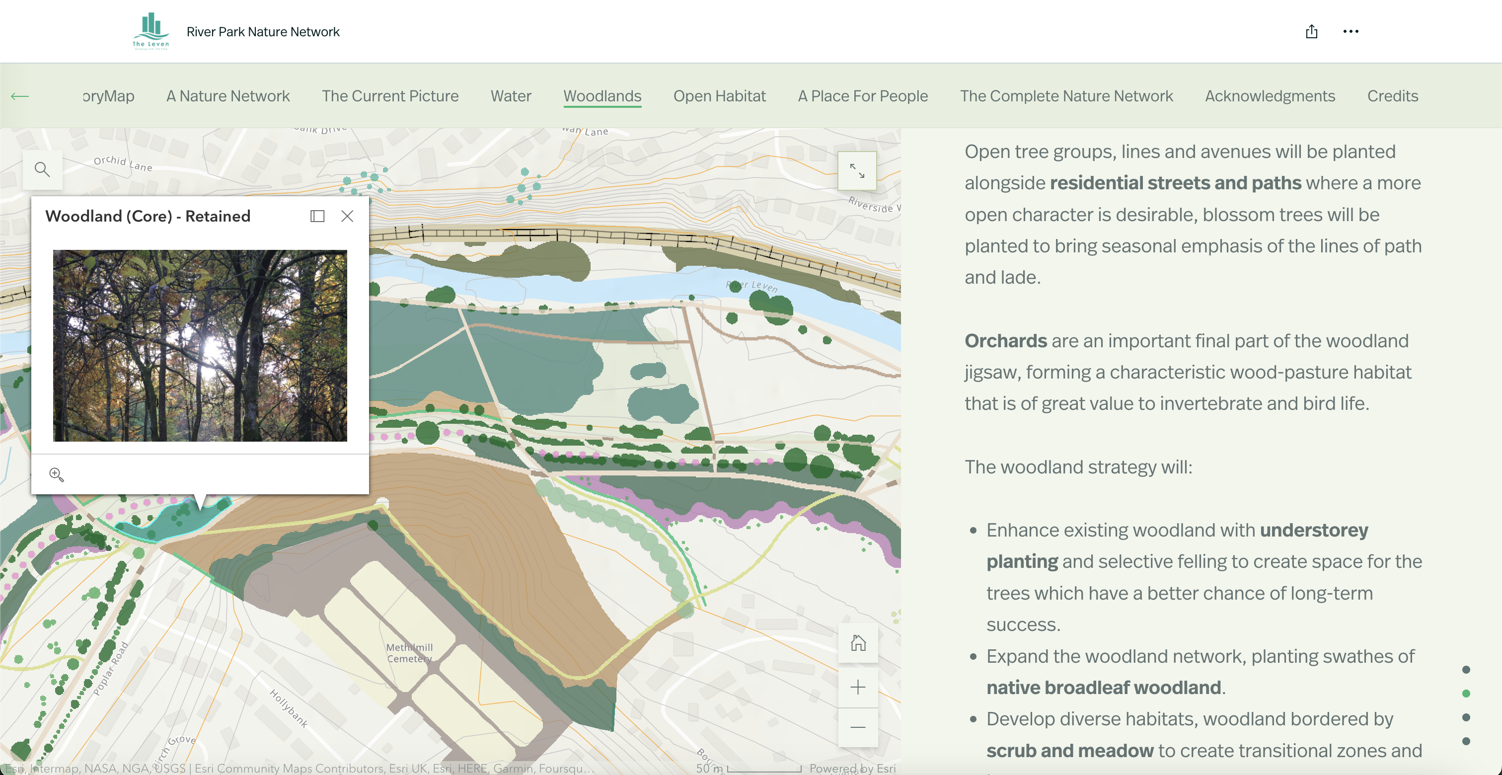
Interactive StoryMap for Leven River Park Nature Networks.
The proposals were shaped by the community through consultations in addition to extensive desktop studies and surveys. The final output was integrated into a Storymap which offered a digestible way to communicate the narrative of our research, findings and proposals.
Nature Network Phase 1 focussed on the Methil end of the parkland. A new water network now characterises this area. Swales collect grey water from surrounding streets and direct run-off into shallow surface water ponds, when these reach capacity they overflow into a lade. The lade (an artificial water channel) is a historical feature within the park and used to power the mills once located here. The new lade is a direct reinstatement of the former Kirkland Lade.

Planting of aquatic species along the lade.

Tree planting along reinstated lade.
The Kirkland Lade forms a physical route across the park, when it reaches capacity it spills into floodplain ponds at the parks lowest point. The water network is traversed by various bridges, platforms and decks which create explorative focal points throughout. A renewed network of paths offer new routes through once dense woodlands and impassable meadows.
Existing plantation woodland has been managed with interplanting and edge planting of fruiting hedges and smaller tree species. New groups of woodland have been planted alongside wet and dry meadow seeding, aquatic planting and larger parkland trees. The park is now able to fluctuate with the seasons which is beneficial for wildlife and more engaging for those who use it.

Orchard trees during open day celebrations.
More recent projects

Leven River Park - Nature Networks
Leven, Scotland

Queensland Court and Gardens
Glasgow, Scotland

Offroad cycling trail centre
Glentress, Scotland
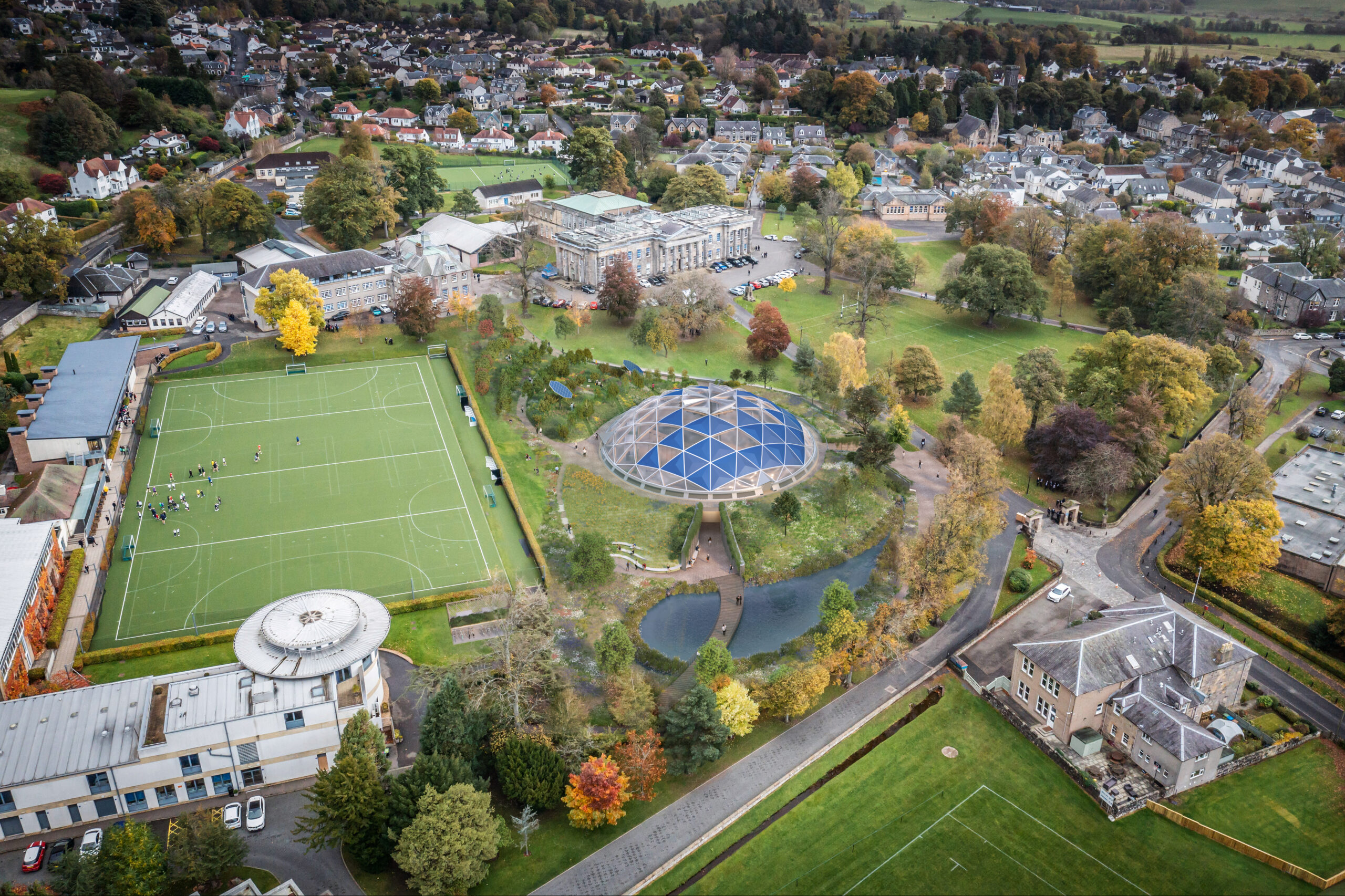
Future Institute at Dollar Academy
Clackmannanshire, Scotland

Kildean Office Development
Stirling, Scotland

New Fountainbridge
Edinburgh, Scotland

Woodside Making Places
Glasgow, Scotland
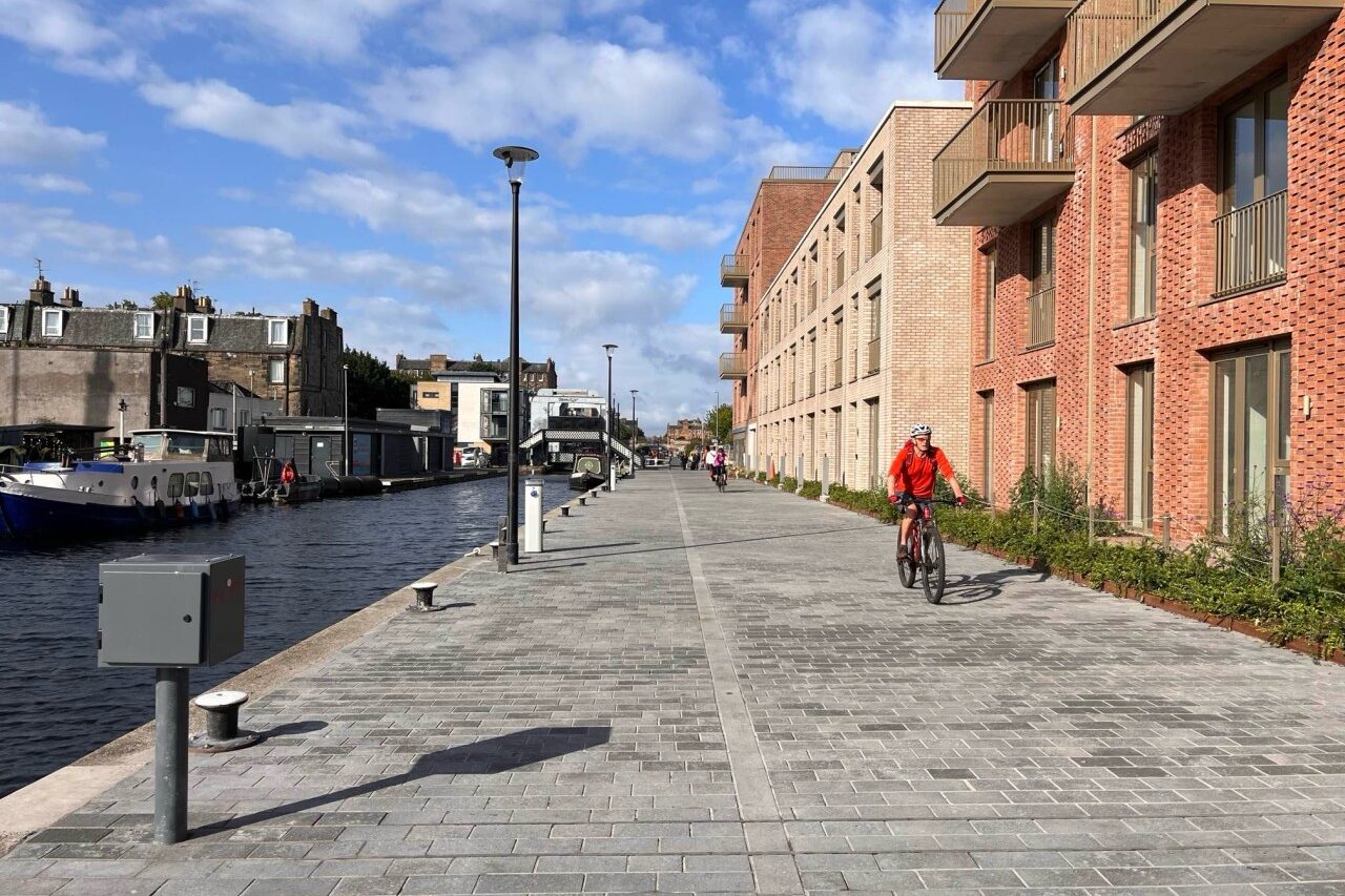
Canal Towpath
Edinburgh, Scotland
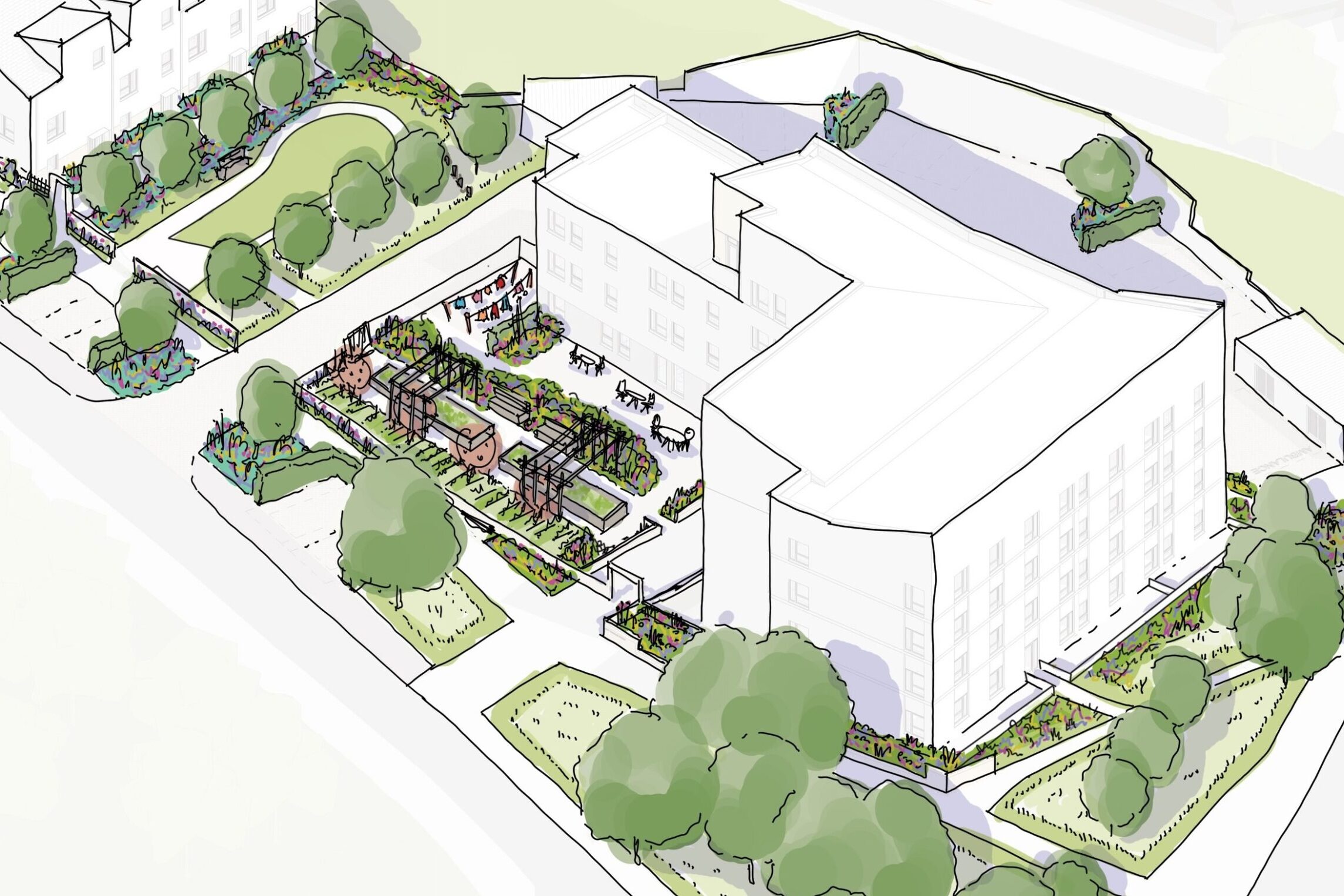
West Thomson Street
Clydebank, Scotland

Holyrood Park LCMP
Edinburgh, Scotland

Altyre Street
Glasgow, Scotland