GIS
(Geographic Information System)
Our innovative approach harnesses the power of GIS to help describe complex spatial planning in an intuitive and interactive way.
Rather than producing a doorstop report to gather dust on your shelf, we can produce a live, searchable and easily updated resource using ArcGIS StoryMap that can help you manage land, evolve complex masterplans and engage with stakeholders and the public.

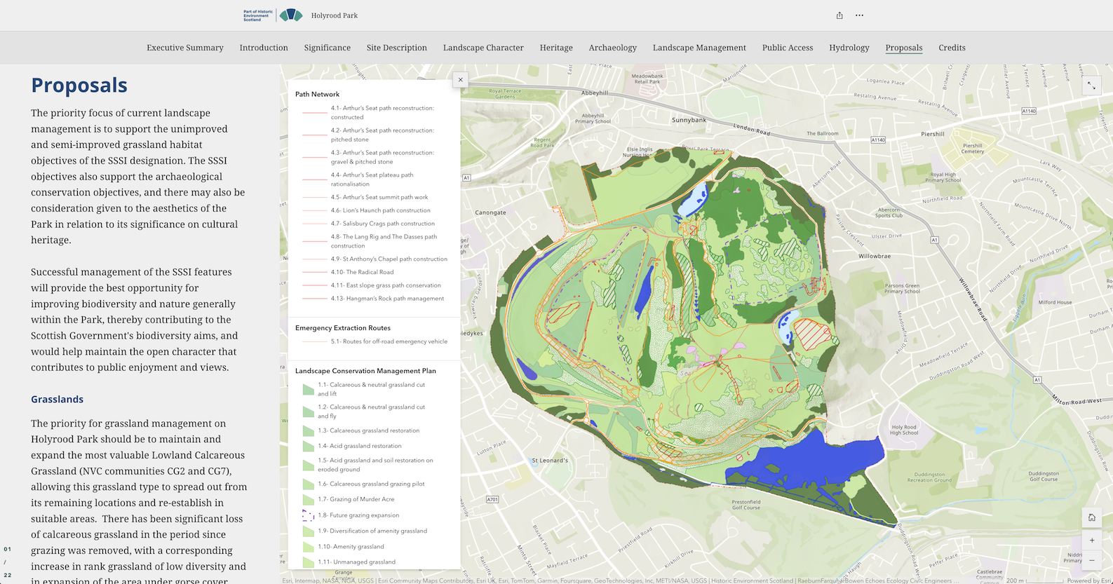
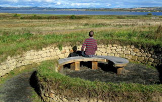
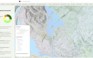
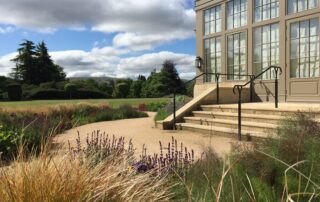
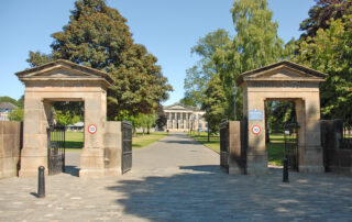
Holyrood Park Landscape Conservation and Management Plan
Data Visualisation and Spatial Analysis:
StoryMap is particularly useful when collecting a lot of data, or covering large geographical areas. We can help to visualise, analyse and present this data in a spatial context, helping clients to prioritise interventions and make informed decisions (as per the Landscape and Management Plan for Holyrood Park for HES).
Strategic Planning:
We can document and communicate project plans, field operations including tracking progress and managing logistics.
Accessibility and Ease of Use:
The StoryMap platform is user-friendly, no code that makes them easy to develop and update even for non-technical staff. They are web-based and mobile-friendly ensuring a wide audience can access the information including stakeholders, funders, land owners, members of the public.

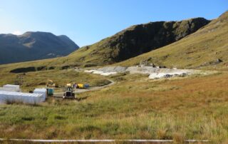
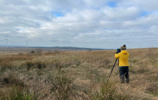
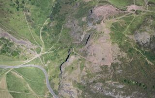
Interactive StoryMap for John Muir Way Greening Study.

Community Involvement and Collaboration:
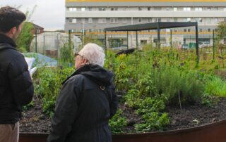
A StoryMap can rally volunteers for local initiatives (such as The Conservation Volunteers carrying out environmental improvements along the John Muir Way). The process itself can be a collaborative effort, allowing multiple stakeholders, local activists and volunteers to contribute data and insights, fostering a shared understanding and inclusion of diverse voices to the process
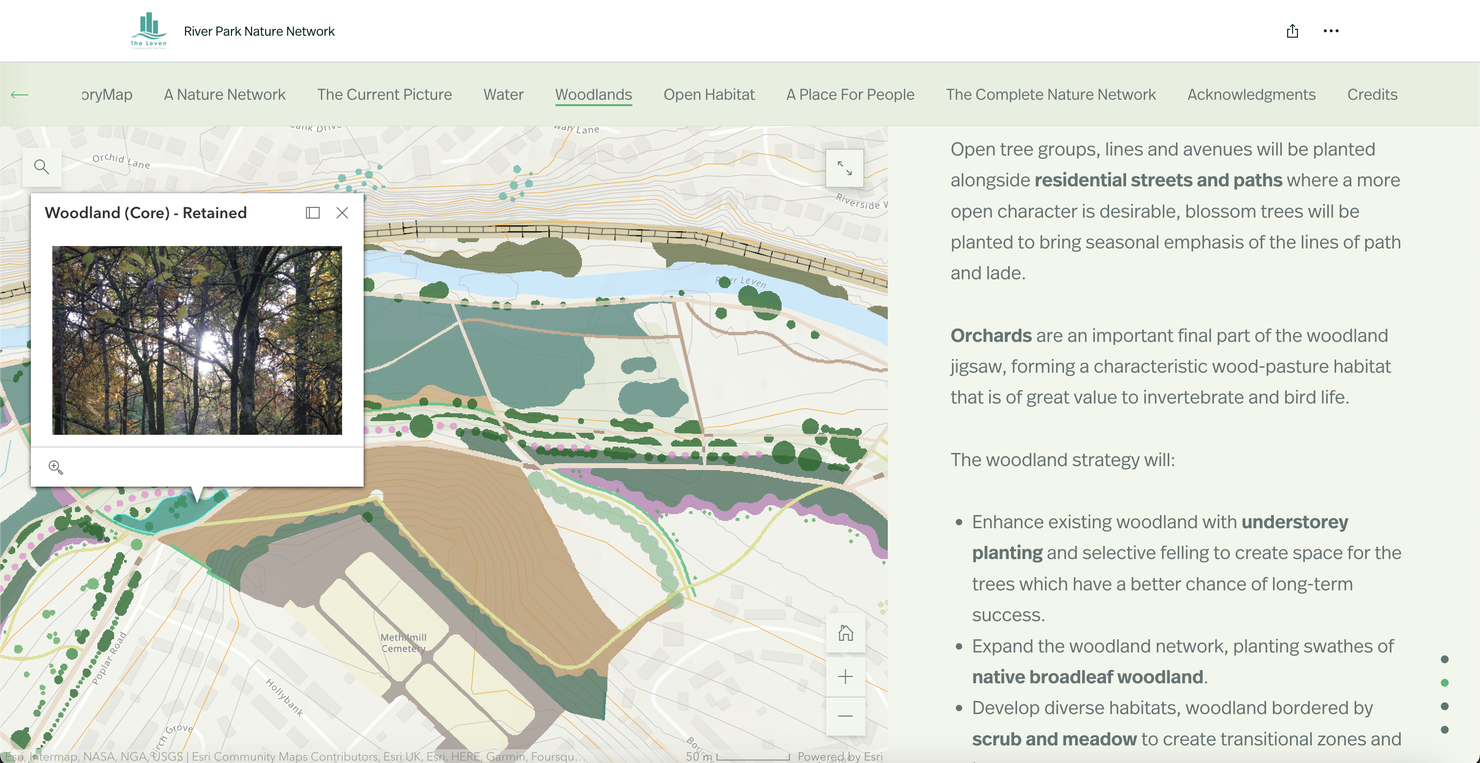
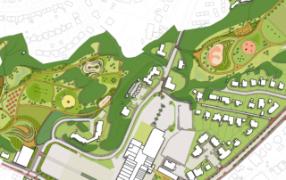
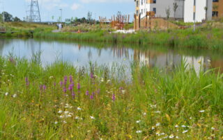
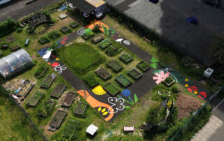
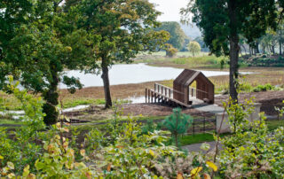
Interactive StoryMap for Leven River Park
Other Services
Landscape & Urban Design
Landscape Masterplanning
Blue / Green Infrastructure
Rural Tourism & Infrastructure

Social Housing
Community Engagement
GIS
Playful Landscapes
Learning Landscapes
Active Travel Planning & Design
Hospitality
Biodiversity Action Plans

Interpretation / Wayfinding
Art in the Landscape
Landscape & Visual Impact Assessment
Heritage & Historic Landscapes
Building with Nature
Landscape Conservation Management Plans
Principal Designer